
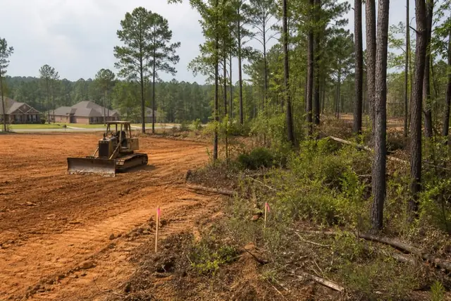

Rose City Land Clearing connects Tyler-area property owners with a local land clearing provider for lot clearing across Tyler and nearby East Texas properties.
Lot clearing is not simply a tree-removal count; it is the first earthwork handoff in a longer construction sequence.
On Tyler-area parcels, a wooded lot may shift from sandy upper ground to a softer drainage path within one building envelope, while pine roots and old fence rows add hidden work.
The quote starts with survey stakes, proposed access, protected utility routes, the structure footprint, and a clear list of trees or buffers that remain.
Mulched acreage, grubbed foundation ground, hauled debris, and rough grade are separate deliverables and should appear as separate lines.
Tie clearing limits to the survey and the building sequence
A platted lot is not ready to clear simply because stakes appear near the road. The owner and builder should identify survey control, setbacks, easements, keeper trees, drainage features, and the intended house, drive, and utility corridors. The Railroad Commission of Texas damage-prevention program explains the statewide excavation-safety obligations that apply before grubbing or trench-related earth movement begins.
For parcels governed by Tyler, the City of Tyler official site is the starting point for current planning, development, drainage, and permit contacts. A site outside city limits may answer to a different municipality or county, so the proposal records the parcel jurisdiction instead of implying that one Tyler rule covers the whole service area.
Separate vegetation removal from earthwork and stabilization
Felling, mulching, grubbing, debris processing, rough grading, and pad preparation are different deliverables. The TCEQ construction-stormwater page explains when construction activity disturbing one or more acres—or a smaller part of a common development plan—falls under state stormwater requirements, which is why exposed-soil control belongs in preconstruction coordination rather than as an afterthought.
Mapped soil information helps the team anticipate variability beneath a future drive or pad, but it cannot certify field bearing or structural suitability. The USDA NRCS Web Soil Survey is used as a planning screen; actual topsoil depth, roots, moisture, fill needs, and compaction criteria are confirmed through the appropriate onsite and design work.