
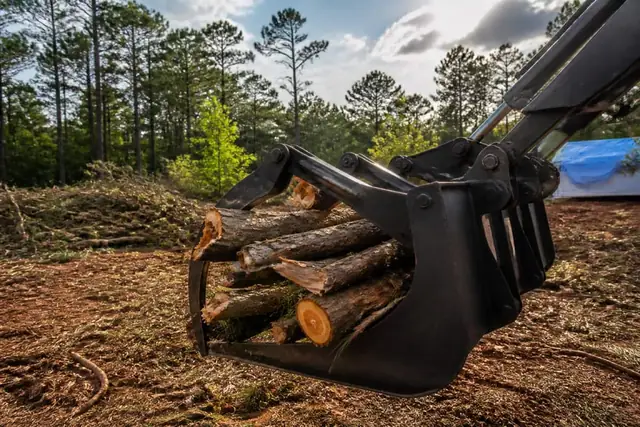

Rose City Land Clearing connects Tyler-area property owners with a local land clearing provider for storm debris cleanup across Tyler and nearby East Texas properties.
Storm debris cleanup starts with hazard separation: anything touching power, leaning under tension, blocking emergency access, or hung overhead is not ordinary brush handling.
Tyler's severe-weather season can leave snapped pine tops, uprooted shallow-rooted trees, blocked drives, and scattered limbs across wet, soft ground.
The provider identifies utility and specialist handoffs first, then sorts material by what can be chipped, cut, stacked, hauled, or left for later processing.
A cleanup quote should state whether stump work, final raking, fence damage, or surface repair is included rather than hiding those items inside debris volume.
Make the site safe before counting debris volume
Storm cleanup begins with downed utilities, unstable trunks, suspended limbs, blocked emergency access, and damaged structures—not with the nearest brush pile. National Weather Service Shreveport provides current forecasts and hazard information for the region, helping the provider avoid placing crews beneath additional wind or lightning while the owner coordinates emergencies with the appropriate utility and responders.
Smith County maintains local preparedness and recovery contacts through its Emergency Management office. That public resource supports emergency coordination; it does not certify an individual tree or structure safe, so arborist, utility, roofing, or engineering handoffs remain outside a routine debris-processing quote.
Sort the material around access and ground condition
A snapped pine top, uprooted root plate, mixed household debris, and clean limb pile cannot be priced as one interchangeable cubic-yard count. If stump or root-ball excavation is contemplated, the Railroad Commission of Texas damage-prevention program explains locate responsibilities before earth movement, and private utilities still require owner disclosure or separate locating.
Saturated low ground may carry foot traffic but not a grapple truck. The USDA NRCS Web Soil Survey provides mapped soil context for planning access, while theonsite decision uses rut depth, slope, surface damage risk, and available staging areas to choose between immediate chipping, temporary consolidation, or delayed hauling.